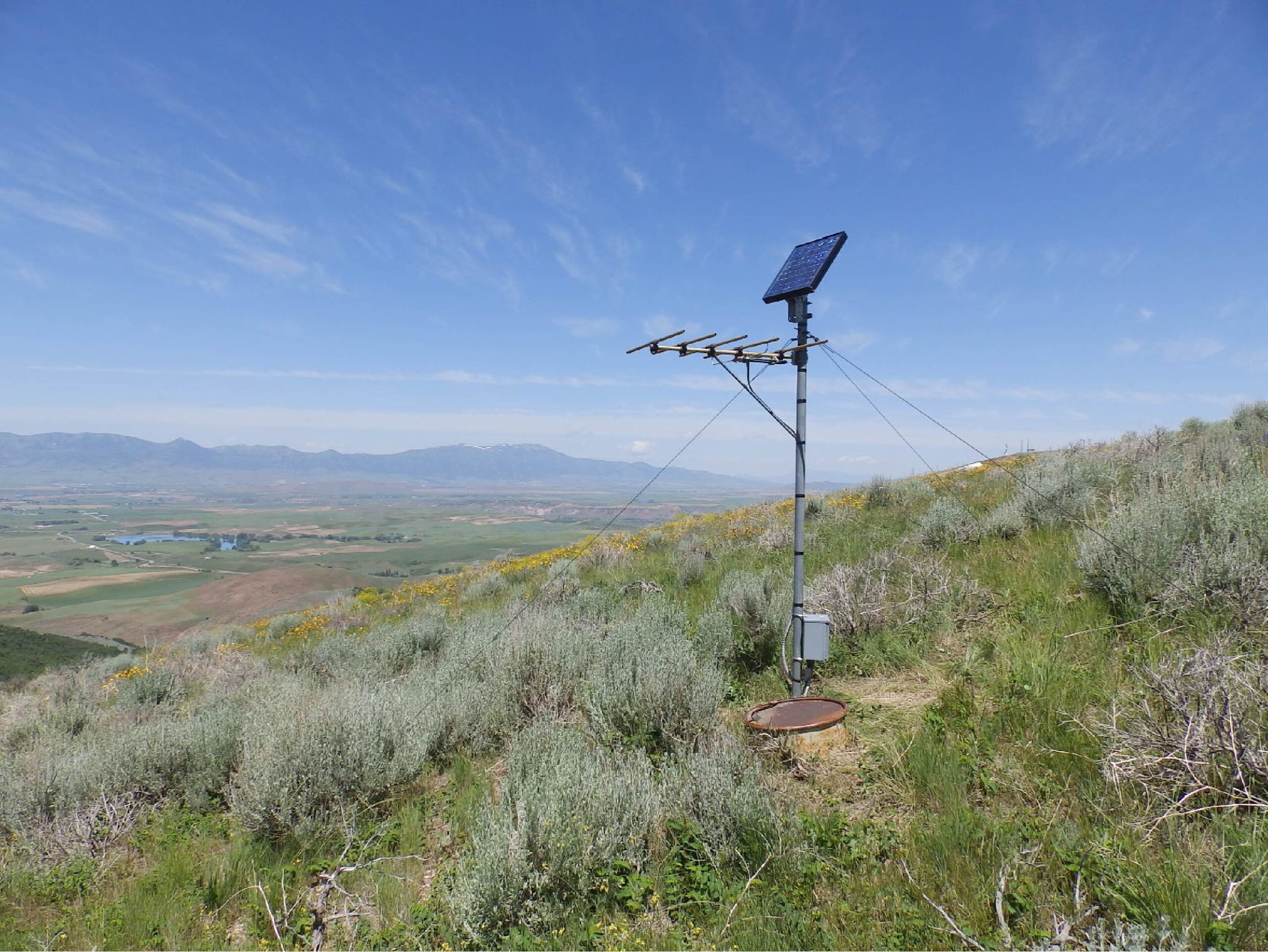
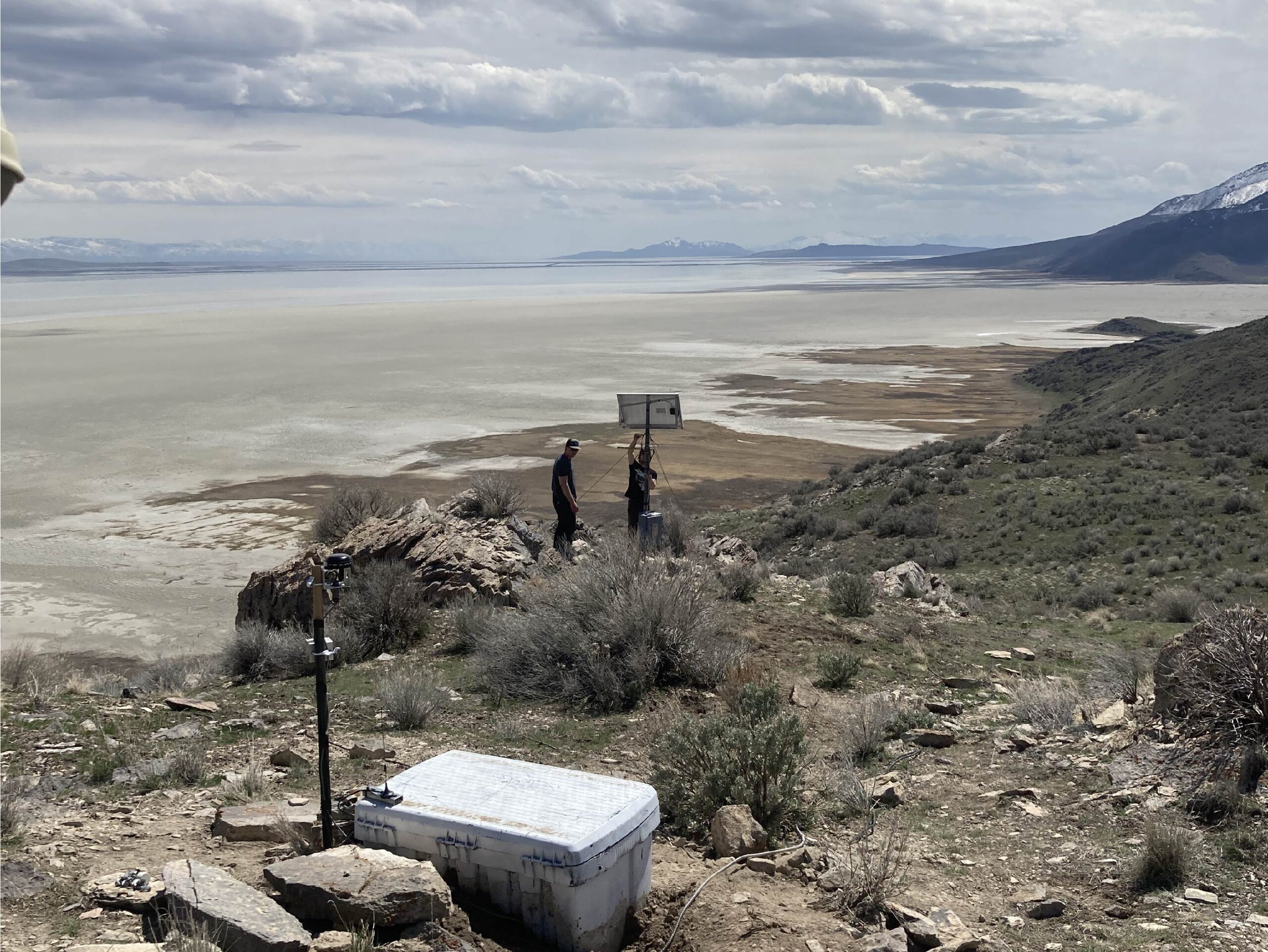
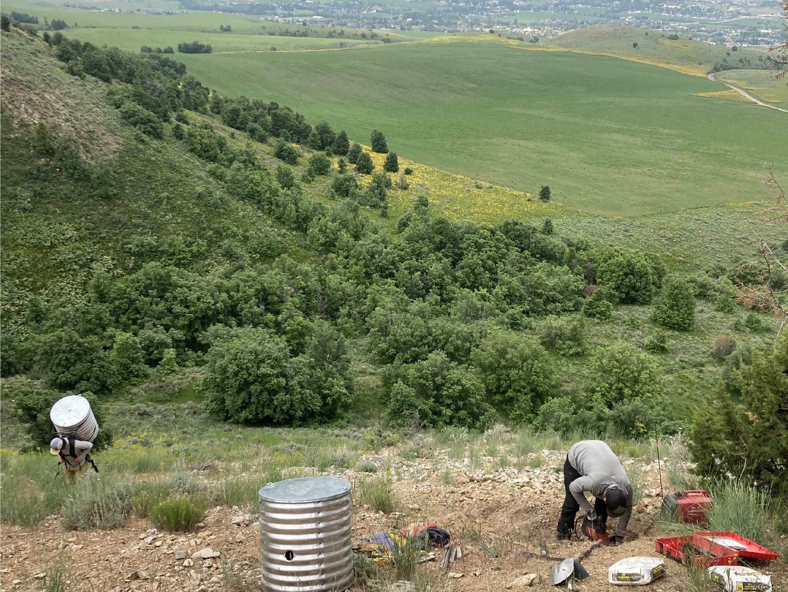
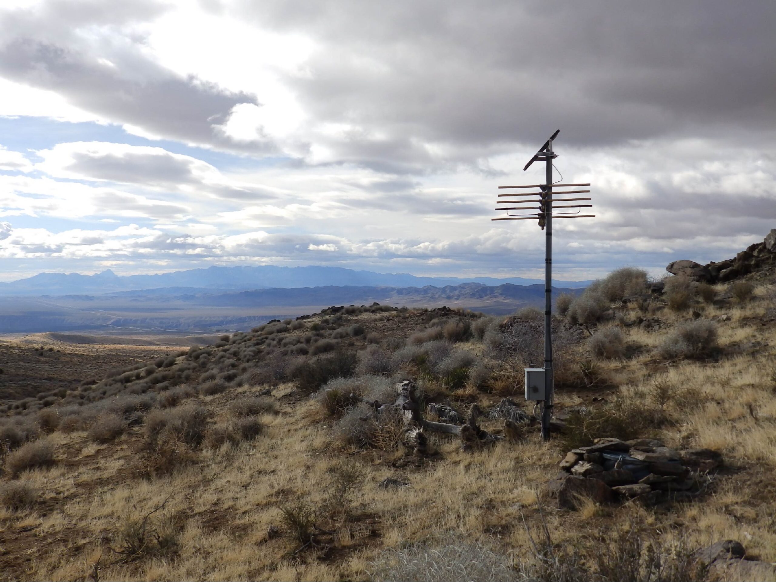
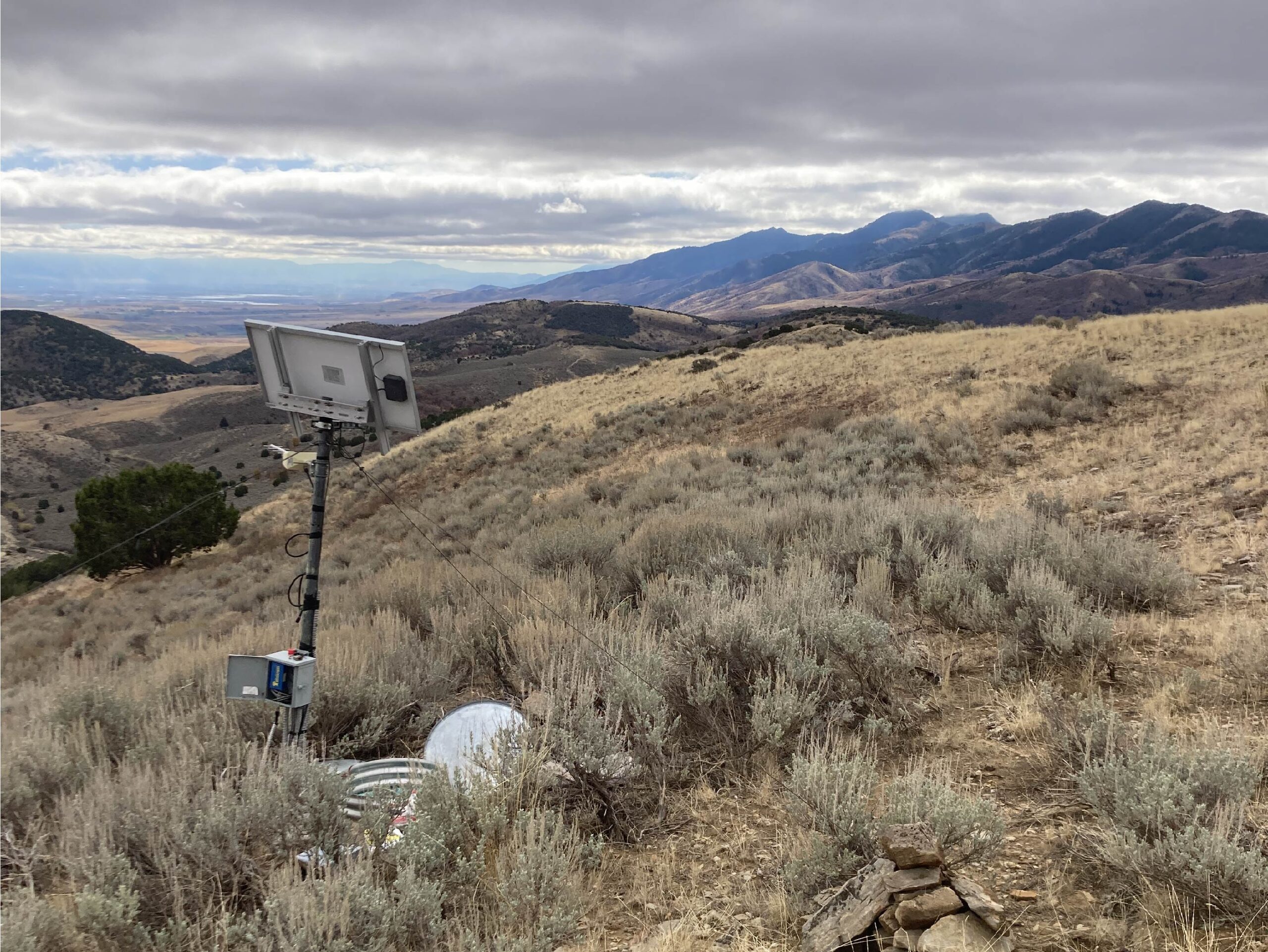
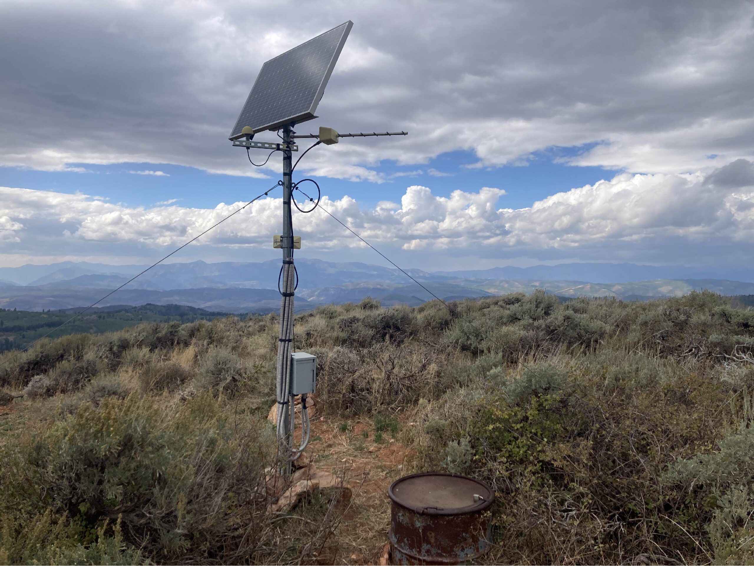
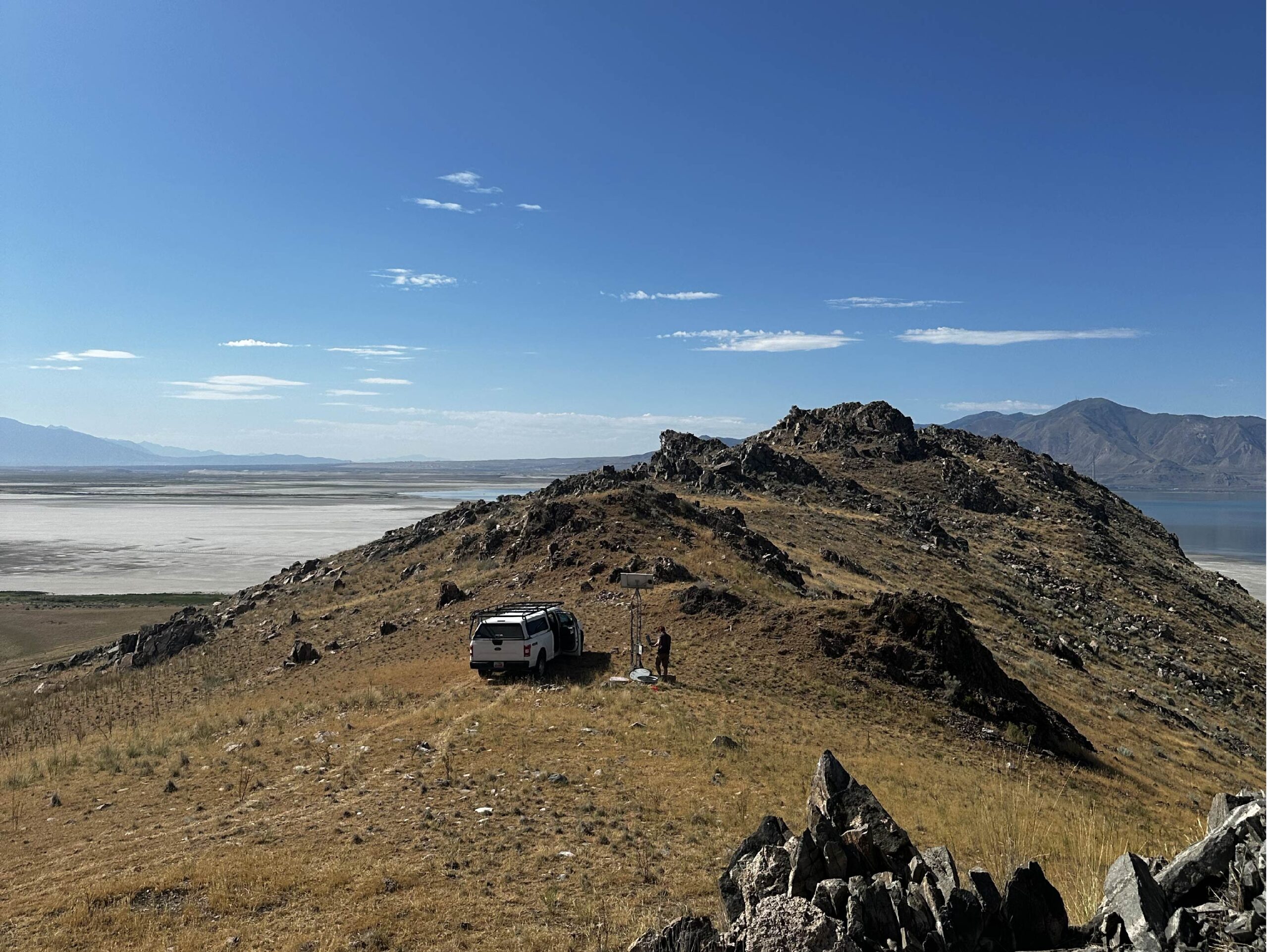
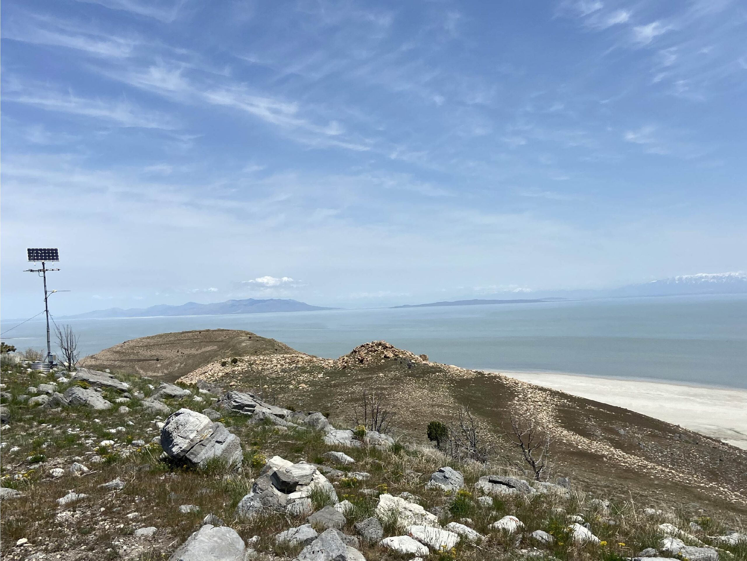
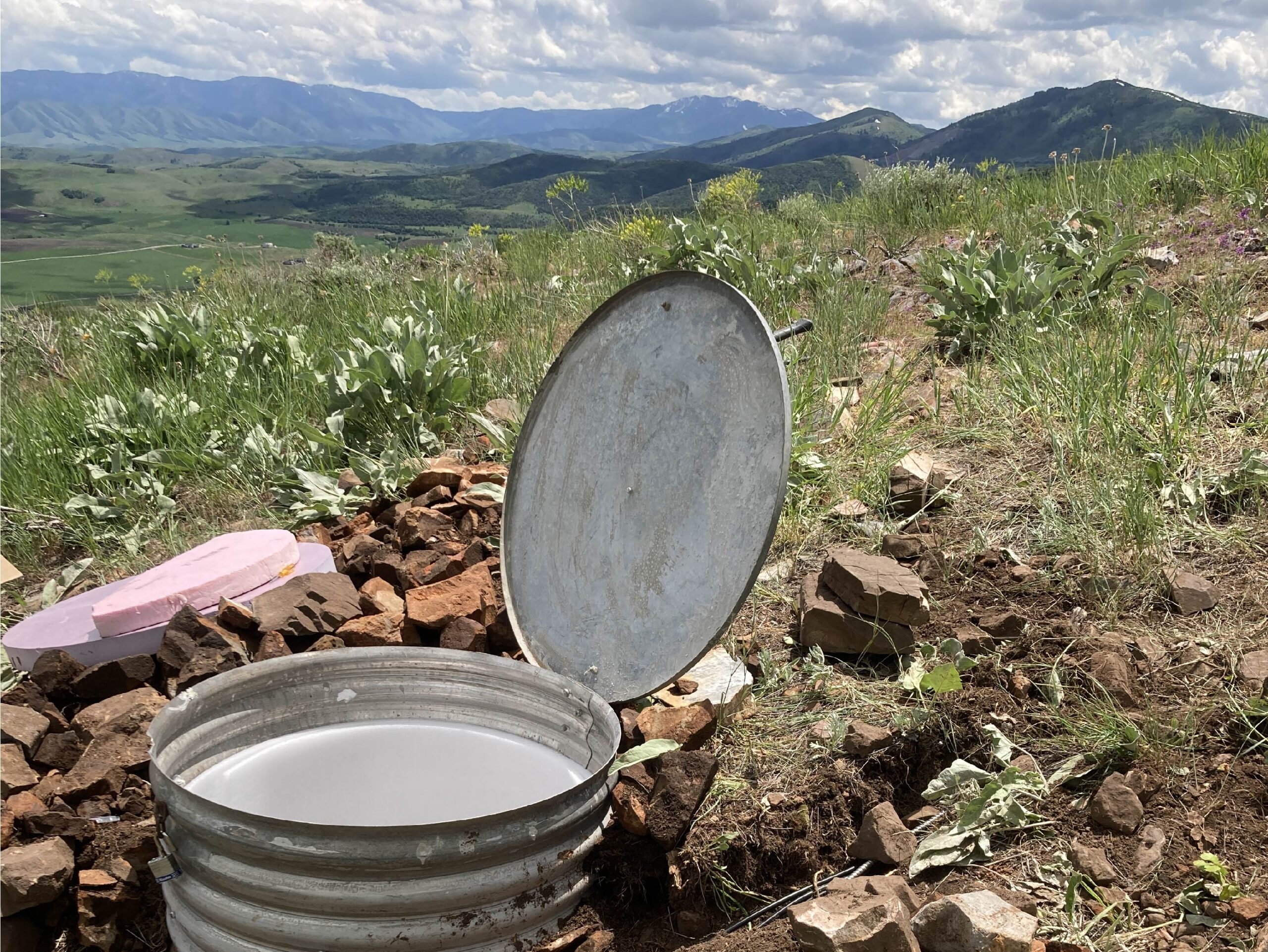
The Utah Regional Seismic Network and the Yellowstone National Park Seismic Network consists of modern digital seismographs (broadband and strong-motion) and older, legacy instruments (short-period) to record and document earthquakes, locate hypocenters, and provide public information and data for scientific research. In Utah, the regional network is concentrated along the Intermountain Seismic Belt. Most regional seismic stations have a vault which houses the seismometer(s) and electronic equipment, and a solar panel, radio antennae (or other transmission method), and gps timing antennae are affixed to a tall mast nearby. See the example regional seismic stations in the photos below!
A detailed station map can be found here.
